|
Location
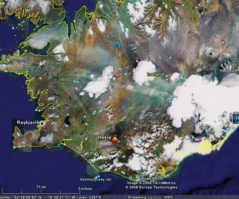 24 24
Google Earth Image of Iceland,
highlighting the location of Mount Hekla.
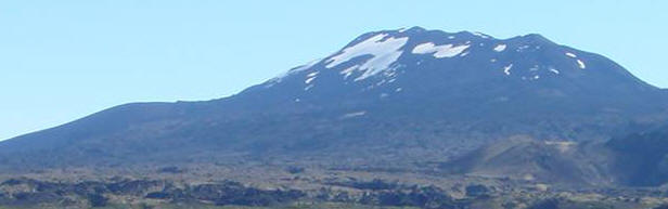
Mount
Hekla (63.98°N, 19.70°W) is a 1491 meter high
stratovolcano located in southern Iceland. It is one of
Iceland’s most prominent and active volcanoes and has
been well documented from the Middle Ages until today.
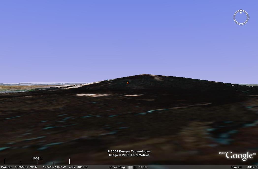 25 25
Google Earth Image of Mount Hekla from the side,
depicting the long, boat like shape of the volcano.
In an
article from late 2007, Ármann Höskuldsson writes, “The
recurrence rate of Hekla eruptions was around one to two
eruptions per century until the 1970s, when it changed
drastically. Since 1970, the volcano has erupted about
every ten years” (p. 169)17.
Hekla lies along the eastern rift zone and produces
basaltic andesites, unlike many other volcanoes in
Iceland. Mount Hekla is long and narrow, shaped almost
like a flipped over boat and has a 5.5 km long fissure
called Heklugjá.18
 15 15
The most recent eruption took place in
February 2000, but eruptions have been observed as far
back as 1104. However, Geologists have been able
to find evidence for eruptions dating back to around
6000 BC from the deposits that cover the flank of the
volcano.
|