|
Monitoring!
Currently at Mt
Rainier:
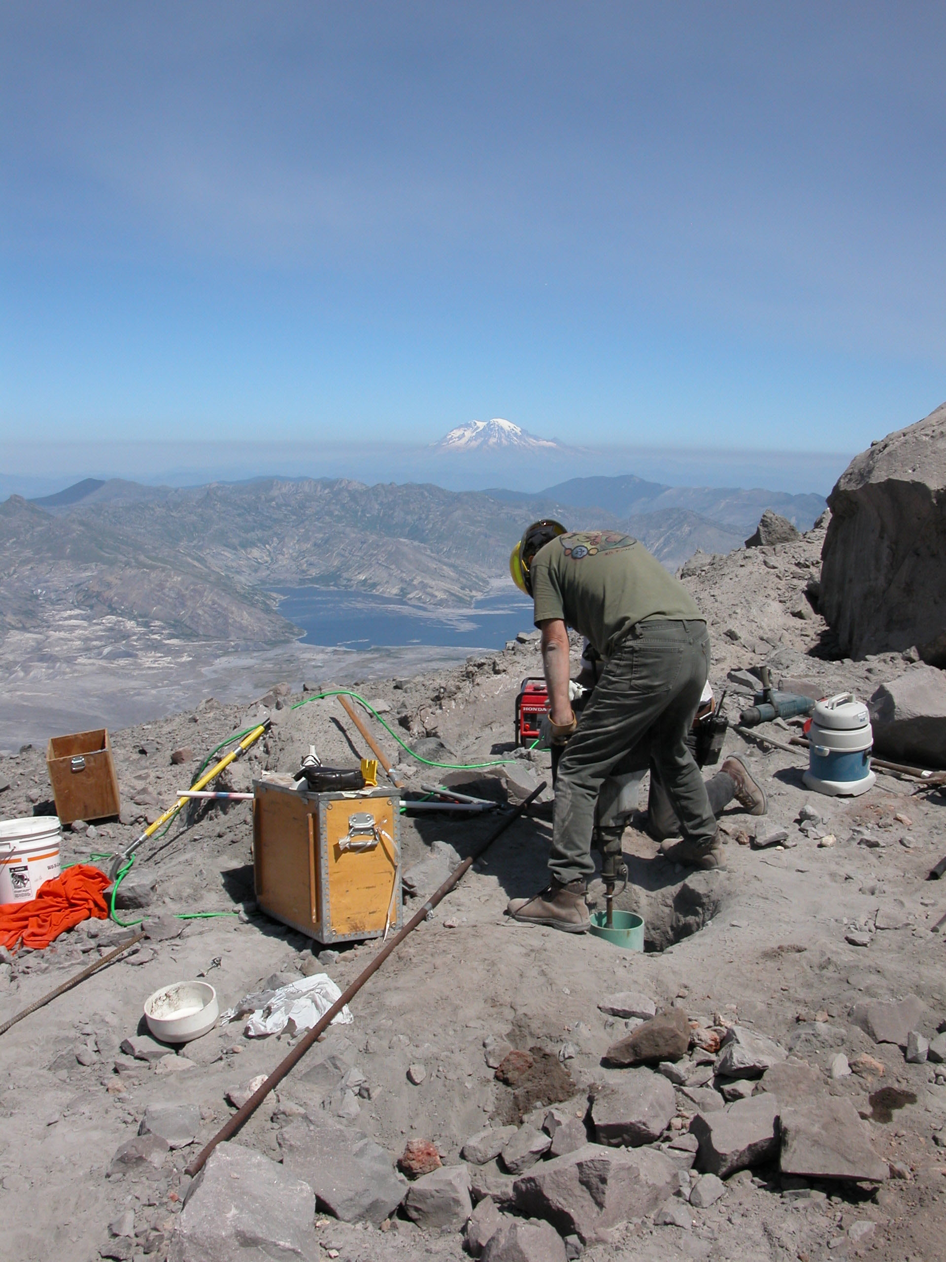
Photo: 13
An example of a seismic
station.
Mt. Rainier has
three 'near-field' stations and 6 stations within 20km
of the crater. It is one of two volcanoes with a
broadband close to the summit (these can detect
earthquakes swarms)
XIII.
As defined by
Ewert, Rainier is a Very High Threat Volcano. Therefore,
he recommends 12-20 seismic stations within 20km from
broadband to acoustic. There should be frequent surveys
for deformation through GPS and tiltmeters and also gas
measurements should be taken often. Finally, a high
level of hydrologic monitoring for soil moisture on
slopes and other remote sensing such as thermal imaging
XV.
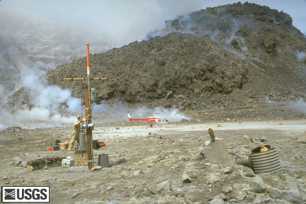
Photo:
14
Tiltmeter being
installed on Mt. St. Helens
Rainier is at a
monitoring level of 3 according to Ewert, even though it
does not have any instruments detecting deformation,
hydrological changes or gas samplings. Therefore there
is a gap of 1 level between the actual monitoring of Mt.
Rainier (3) and what it should be (4).
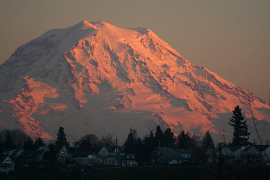 Photo: 15
|